
Gastonia Neighbor Record Sources
Public sources around a Gastonia block answer narrow, useful questions. The county map can display nearby parcel boundaries and an owner-linked summary. Tax and appraisal records can add a mailing address, property characteristics, or a deed reference. City community pages add a named civic area and an approximate boundary. Historical street directories at the library can place past households at an address. None creates a universal current roster of the people on a block.
| Source | What it can show around a block | Gastonia access |
|---|---|---|
| Gaston GIS | Parcel shapes, map position, districts, and owner-linked details | Free public map viewer |
| Tax and appraisal record | Owner, situs, mailing address, transfer and property details | County property search |
| Recorded deed | Grantor, grantee, book/page, legal description and plat reference | CCS and Register fallback |
| Voter record | A named registration, address, status, and precinct context | State search or county request |
| Recognized community page | Civic context, some boundaries, household estimates, liaison path | City public page |
Owners and occupants are different categories. A parcel may have more than one structure, an owner may receive tax mail somewhere else, and a mailing address may belong to an agent or business. Treat a parcel connection as a source-dated property relationship, not proof of who is home or who shares the address.
Map a Gastonia Neighbor Block
The Gaston GIS Mobile/Map Viewer has the local tools needed for a close-block check: zoom and pan, optional layers, Identify Parcels, and Erase Graphics. Begin with one physical address. The map’s physical address is a tax situs address, not a mailing address. When a selected feature opens, record its parcel ID or PIN, the physical address, owner, mailing address, and deed or plat reference separately. The fields are bridge keys for later verification.
- Locate the subject parcel in the Gaston GIS viewer and zoom until the parcel layer is available.
- Turn on Identify Parcels, select the subject lot, and then select only the adjoining parcel shapes that matter.
- Compare each resulting parcel summary with the county property record and retain owner, situs, mailing, deed book/page, and legal-description fields.
- Use the Register’s grantor-grantee index when a recorded conveyance needs confirmation, then note the source date.
This is a parcel-by-parcel method. For the full named-street record trail, use the Gastonia by-street directory, which covers street-wide GIS, deed, and historical directory work.
Gastonia Parcel Details for Neighbors
The county parcel template can carry a current owner, mailing and situs addresses, deed book/page, sales date and amount, plat reference, neighborhood name, legal description, property use, structure fields, acreage, tax district, flood-hazard information, city limits, ETJ, police district, fire district, and census tract. A parcel boundary can cross a community or postal boundary. This makes the map valuable for context, but it is still a GIS and tax summary rather than a title opinion.
- Parcel
- A mapped property unit used by the county for tax and geographic records.
- Situs address
- The physical address assigned to the parcel for tax and jurisdiction purposes.
- Mailing address
- The address used for tax correspondence, which can differ from where the parcel sits.
- Plat
- A recorded map that can identify lot lines and subdivisions when a street address changes.
Gaston Tax Mapping says staff check recorded deeds, plats, estate files, and local obituaries as it maintains the parcel layer. That local practice is a useful prompt to check the underlying deed or estate record when a mapping change raises a question.
Gastonia Recognized Community Context
The City of Gastonia’s recognized-communities list provides social geography, not a directory of residents. Entries include names such as Highland, Laurel East, Village at Parkside, Willow Creek, Efird Catawba, Planters Ridge, Bethesda Oaks, Catawba Hills, Robinwood Village, Northampton, Nolen Farm, and Myrtle School Community Association. Some city entries include approximate household counts, recognition dates, or boundaries. Those figures should not be used to infer that a specific household is a member.
Gastonia’s recognized-community listing is shown below.
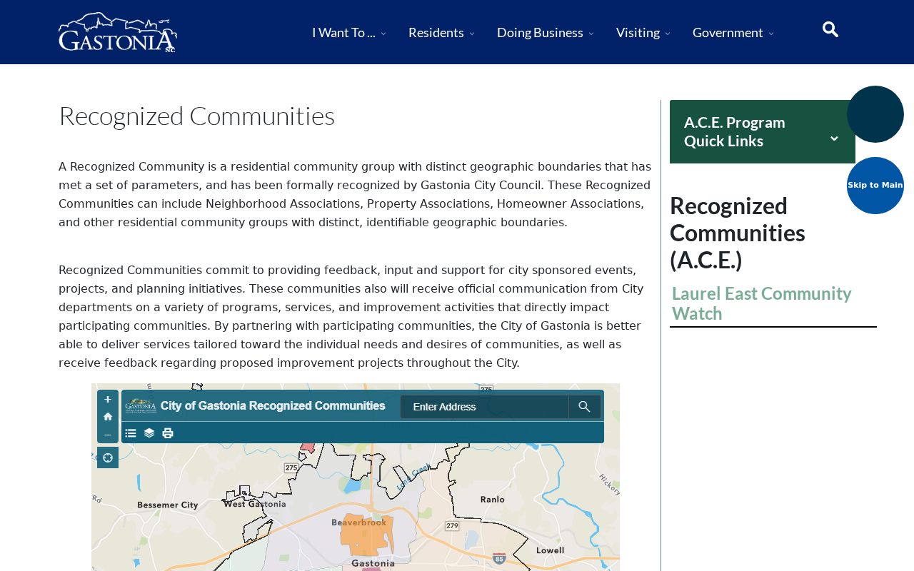
A community label can help locate a block on a city map or explain an association contact, but a parcel and an address are the better identity anchors.
Gastonia Neighborhood Liaison Routes
The city’s A.C.E. program gives recognized groups a civic-contact route for information and resources. It is a practical way to verify a current community contact rather than reusing an old roster. The recognized-community page and city liaison program can describe an area, community watch, HOA, or association, but neither is a complete population list.
Recognized communities
Use the city list for a current group name, recognition detail, and community context. Confirm any posted contact with the city page.
A.C.E. program
Recognized groups can work through the city liaison for information and resources. It connects civic groups, not every address in an area.
Gastonia’s A.C.E. program page shows the liaison approach.
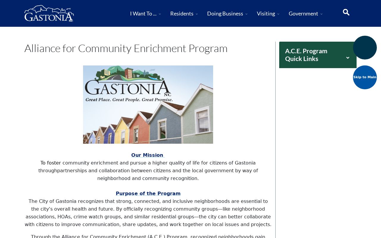
Checking a city-maintained contact channel avoids treating a dated association directory as current.
Gastonia Voter Records Near a Block
North Carolina voter addresses are generally public, but the simple NCSBE form searches a named person using first name, last name, an optional middle initial, optional year of birth, county, and status. It does not generate a block-wide household list. A result can show a registration address, county, precinct, districts, and voter-history indicators, but it does not reveal ballot choices or establish that a person is currently at the address.
For a defined voter-record request, contact the Gaston County Board of Elections. Its form allows specific public-record requests and describes email copies, media, labels, printouts, and copies. The office processes requests in order received on Fridays, with research or scanning sometimes taking up to two weeks, and pauses processing around elections. Protected voters and Address Confidentiality Program participants have an important exception: their physical address can be kept confidential.
Gastonia Address Report Requests
Address-linked city records can date a change without naming every household. Building and land-use files may contain a project address, applicant or contractor, inspection trail, and certificate-of-occupancy milestone when releasable. A public city code-case search was not located in the research, so the fallback is a Chapter 132 request to Building Services or Code Enforcement with the street number, street, record type, and date range. The city does not have to create a new compilation.
Gastonia Police reports use a different access path. The public police report page supports case-number or date-and-last-name searches, plus a street-number, street, and city route. Reports are generally available three to five business days after an incident; certain sensitive categories require contacting the Police Records Bureau.
Gastonia Police’s public report-search entry is shown below.
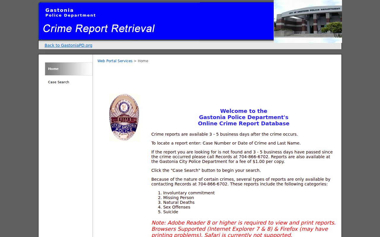
A report confirms a specific recorded incident or request, not the full identity or history of people living near it.
Gastonia Blocks Across Time
A present-day block can have a much older address history. Gastonia’s comprehensive planning material describes the York-Chester street grid, Brookwood as a planned 1930s suburb, Highland as an older African American neighborhood, and mill-village areas associated with Loray or Firestone, Trenton, Mutual, Avon, Modena, and the former CDA operations. Those place names help explain why an older record may describe a settlement or mill village rather than a present neighborhood label.
For a historical neighbors question, pair the current parcel with a directory street entry, a deed or plat reference, and a Sanborn map sheet. Gastonia has documented Sanborn editions from 1893, 1898, 1904, 1908, 1915, 1922, and 1930. The Library of Congress has an online 1915 edition, while the Gaston County Public Library points readers to Digital Sanborn Maps and local-history resources. This combination can identify a building footprint or intersection even when a street number changed. It does not identify every historical household by itself.
Note: Gastonia’s 1911 annexation of the Loray Mills area can place an older address in a surrounding-settlement context before it appears in city-limit records.
Gastonia Neighbor Source Comparison
Official records identify their custodian, date, and record type. Private compiled neighbor tools may blend public filings, old addresses, and marketing data into a profile. That can be convenient, but it can also combine different people with the same name and offer no clear correction path. Start with the county or city source when accuracy matters.
| Official source | Compiled private tool category |
|---|---|
| Identifies the office that holds the record and its access limits. | May not identify where each field originated. |
| Connects a parcel, registration, deed, or city record to a date. | Can combine stale, historical, or same-name information. |
| Provides the correction route through the actual custodian. | Does not replace a county or state correction process. |
Gastonia Neighbor Lookup Limits
Neighbors research is limited by design. Renters, children, and other household members are not provided through the tax owner field. Utility and delivery information are not public resident directories. A protected voter, Address Confidentiality Program participant, sealed adoption record, juvenile record, or expunged court record is supposed to stop the public trail. If an official field is wrong, ask the office that keeps it about the correction route.
Lawful use. Use Gastonia neighbor records for personal, civic, or family-history questions. Never use a public source to watch, harass, threaten, or intimidate another person.