
Trace a Gastonia Street Directory
For an address-first Gastonia search, begin with the county's physical-address record rather than a name alone. The property card supplies the present situs address, owner, parcel identifiers, deed book and page, and legal description. Those items help separate two similar street numbers and provide a bridge when a lot was split or combined. The tax record is a starting point, not a title opinion and not proof that an owner lives at the property.
- Enter the house number and street in Gaston GIS advanced search, or use Street Name in the mobile viewer to browse a full segment. Save the parcel ID, PIN, situs address, owner, and deed or plat reference as separate notes.
- Open the parcel in the Gaston GIS mobile viewer. Zoom to the lot, use Identify Parcels, and compare the subject parcel with nearby shapes without treating the map as an occupant list.
- Search the listed owner as a grantee in the Register's CCS index. Read the acquisition deed, then use its grantor, legal description, instrument number, book and page to move backward one conveyance at a time.
- When a particular person's current registration is relevant, use the NCSBE form with first and last name, then narrow to Gaston County. A returned address is a registration lead, not confirmation that the person is there today.
- For a past household, consult the street or criss-cross volumes held by local-history collections. A directory year should be paired with the address form used in that year and, where needed, a map or deed reference.
The sequence matters because each record answers a different question. GIS connects an address to a parcel; a deed explains a recorded transfer; voter data may support a named registration; and directories preserve dated household information. Keep the result as a record trail rather than merging those roles into one unsupported conclusion.
Gastonia Street Search Fields
The Gaston GIS advanced form is the most detailed street-search starting point. Its fields are optional, so a broad street can be narrowed without guessing at a postal area. The mobile help also provides a Street Name search. It expects the signed street name without city, state, or ZIP, while the physical-address guidance says to omit city, state, and ZIP and use standard direction and street-type abbreviations.
| GIS field | Input type | Supported format or use |
|---|---|---|
| Parcel # | Optional text | Six-digit Parcel ID, such as 105909; it is not the NC PIN. |
| PIN # | Optional text | Ten-digit NC PIN, such as 3545-88-5169. |
| Primary Property Address | Optional text | Street address only, such as 128 W Main Ave. |
| Owner Name | Optional text | Last name, first name, or company. |
| Deed Book and Page | Optional text pair | Use the recorded reference, such as 2853 and 876. |
| Neighborhood Name | Optional text | Supports a named area, such as Downtown Gastonia. |
| Street Name, mobile viewer | Map browse | Browse a signed street by name; no city, state, or ZIP is requested. |
The Real Estate Appraisal Department confirms that property-key, owner/name, and physical-address searches are available. The search can lead to assessed value, tax due amounts, and payment history, but that does not change the need to verify a recorded ownership question with the Register of Deeds.
See the appraisal search guidance before entering an address. The form's separate parcel and PIN fields are a useful guard against joining an old deed reference to the wrong current property card.
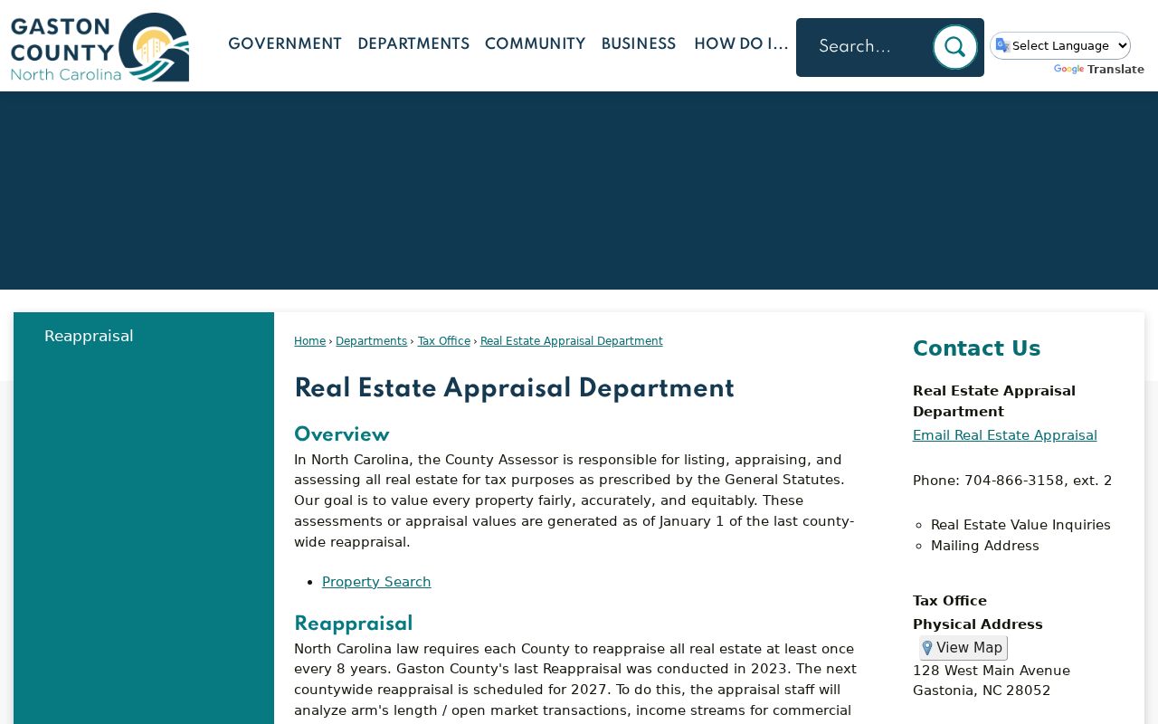
That address-first approach keeps a Gastonia street directory search tied to the county's actual property keys instead of a loosely matched street name.
Map Gastonia Streets by Parcel
Gaston GIS offers two complementary views. The advanced search identifies a result by property details, and the mobile map lets a researcher pan, zoom, toggle optional layers, identify parcels, and erase prior selections. A layer can remain unavailable until the map scale is appropriate. On a long Gastonia street, this makes it possible to work section by section and retain the parcel relationship behind each result.
Parcel detail can show the current owner and mailing address, physical or situs address, deed book and page, recording or sale date, plat book and page, neighborhood, legal description, building characteristics, tax district, city limits, ETJ, police and fire districts, flood information, watershed, and Census tract. A current mailing address may point somewhere else. The physical address is the location of the parcel, so it is the better field for locating what stands along a street.
The Gaston GIS parcel viewer is the source for this map view and its Identify Parcels tool.
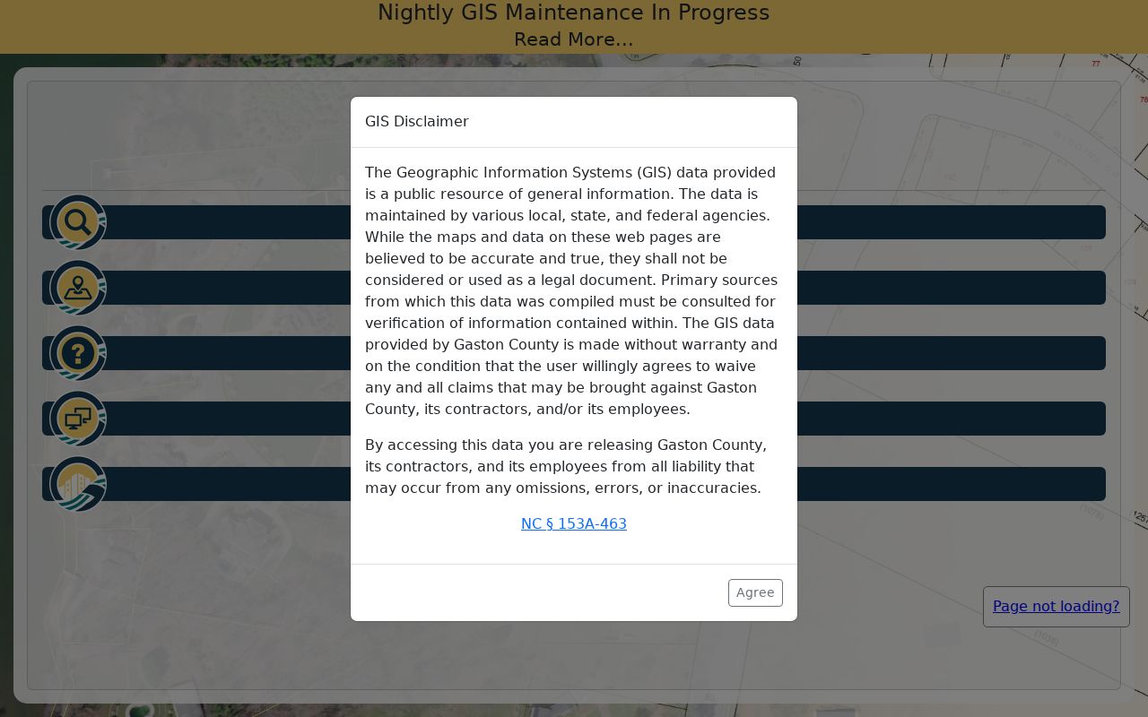
Use the highlighted parcel data as a map and tax summary, then compare the deed reference with the recorded document before drawing a conclusion about ownership. A street directory map review should retain the parcel reference for each selected lot.
Gastonia Street Directory Record Coverage
Address-keyed sources do not all describe the same relationship. The county parcel record is best for the lot and tax record, while the deed index documents recorded parties and instruments. The voter tools return a named registration record, not a street-wide household roster. City permit and code material can date a change at an address when released, and historical directories give a dated occupant or business entry.
| Address record | Custodian | What it can show | Access route |
|---|---|---|---|
| Tax/Appraisal and GIS | Gaston County Tax Office and GIS | Owner, situs, mailing address, parcel/PIN, value, transfer references, and property characteristics. | Free property and map search; call Tax/Appraisal or request an existing record under Chapter 132. |
| Recorded land documents | Gaston County Register of Deeds | Grantor, grantee, instrument chronology, book/page, legal description, plats, liens, and related recordings. | CCS search and online uncertified copies; certified-copy portal, phone, email, or office counter. |
| Voter registration | NCSBE and Gaston County Board of Elections | A named voter, status, address, precinct, districts, and related registration context when public. | Online name search or a county public-records request with separate file, label, and copy rules. |
| Permits and code records | Gastonia Building Services and city departments | Project address, applicant or contractor, inspections, notices, and milestones when releasable. | Address-led permit route; request code records by street number, street, and date range because no current public code-case index was located. |
| Historical directories | Library and digitized collections | Dated occupant, household, business, telephone, and street information. | Local-history room and digitized materials; use only with the directory year and known numbering changes in mind. |
The Tax Mapping and GIS division says it converts recorded deeds, plats, and other public records into the parcel layer and checks recorded deeds, plats, estate files, and local obituaries daily. That maintenance can reveal a change worth checking, but it is still wise to identify the actual deed or estate file behind it.
The Tax Mapping and GIS page describes the county unit that maintains those parcel relationships.
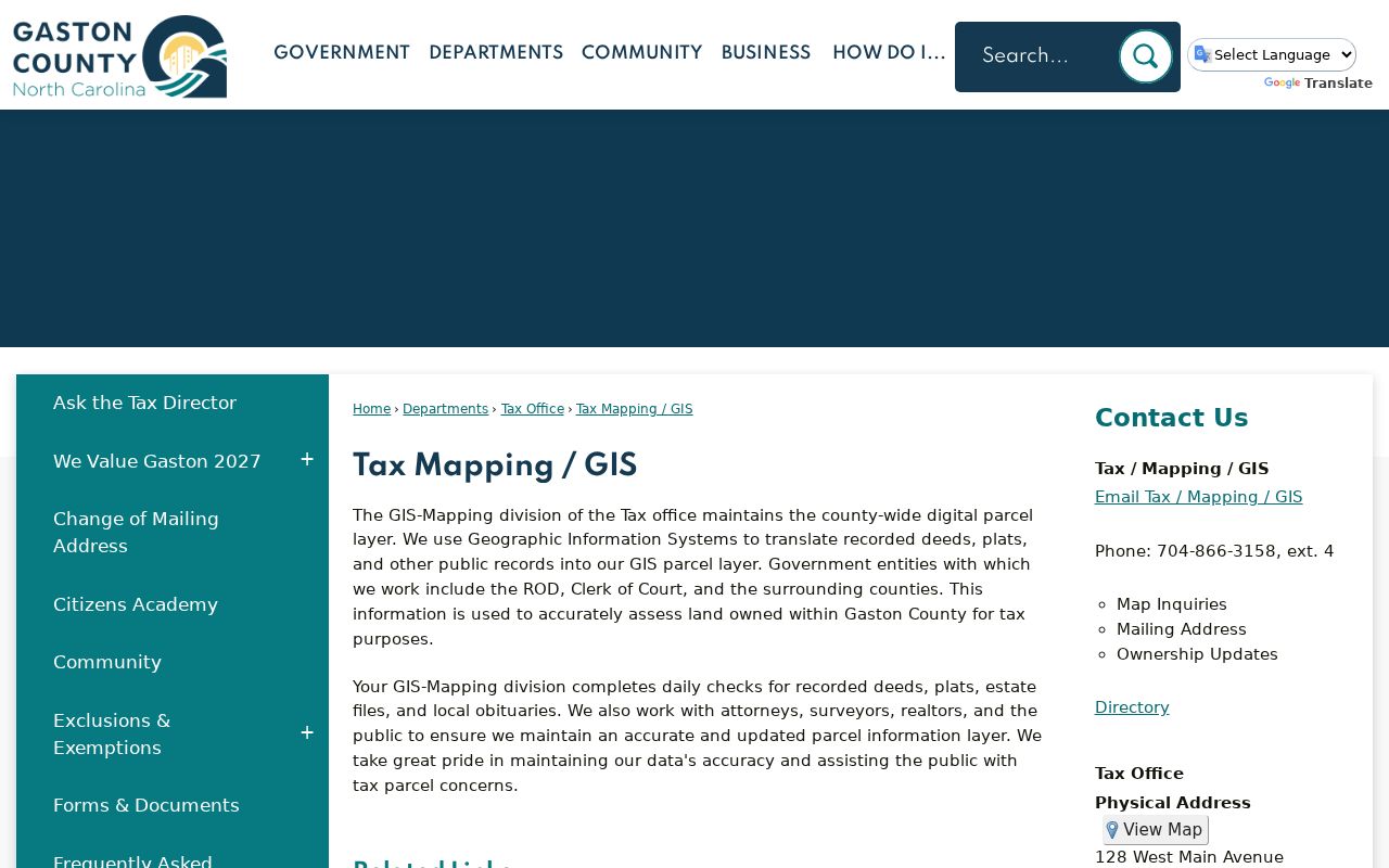
For a Gastonia street directory result, that map maintenance is a valuable lead, not a substitute for the source record that supports the change.
Follow Gastonia Deeds by Address
Once GIS supplies a current owner and parcel reference, move to the Gaston County Property Records Search and its CCS path. Search the current owner as a grantee, narrow by recording date, and note the instrument or document number, book and page, document type, party role, legal description, and image availability. Search the seller or grantor as a prior grantee to continue backward. The legal description, plat, PIN, acreage, and adjacent owners are stronger bridge keys than a street number alone.
The county says its prior land-record vendor was retired and old-system records moved to CCS on May 28, 2026. It does not provide an exact online start year, and some older records may not be online. The Register can assist by phone or in person when a web search ends. Uncertified copies are available online; certified copies may be requested through the certified-copy portal, by phone, by email at rod@gastongov.com, or at the office.
The Gaston County Register of Deeds keeps the county's recorded land documents and provides the office contact route for older material.

A recorded deed identifies a conveyance, not a complete title opinion. When an online record stops, preserve the last book, page, legal description, and date before asking the Register for help with the next link.
Note: FamilySearch catalogs Gaston deed and mortgage indexes from 1846 to 1961 and deeds and mortgages from 1847 to 1961, but catalog coverage does not promise online images from home.
Use Gastonia Street Voter Leads
The NCSBE Voter Search is name-led, not street-led. It requires first and last name, accepts a middle initial and year of birth, and can be narrowed to Gaston County and selected status choices. A public result may show registration details, jurisdictions, polling place, sample ballot when available, absentee information, and voter history. It does not reveal ballot choices, and it does not produce a list of everyone who might live at an address.
For a documented file request, the Gaston County Board of Elections accepts the public-record request form in person, by email, mail, phone, or fax. The form has separate output choices and processing rules. It is processed in order received on Fridays, can take up to two weeks for research, scanning, or copying physical documents, and is not processed during the stated election-period blackout. Ask for an existing field or file, because Chapter 132 does not require the office to create a new compilation.
North Carolina generally treats voter addresses as public, but qualifying protective orders and Address Confidentiality Program participation can shield an address. A protected address is a stop condition, not a gap to work around.
Read Gastonia Street Address Terms
Address records use several terms that look similar but serve different purposes. Keeping them apart makes a Gastonia street directory search more accurate, especially when a property has a mailing address elsewhere or an old directory uses a changed street number.
- Parcel
- A mapped piece of land in the county tax and GIS system. Gaston uses both a six-digit Parcel ID and a separate ten-digit NC PIN.
- Situs address
- The physical location of the parcel used for county, city, and fire-tax geography. It is not necessarily the tax mailing address.
- Plat
- A recorded map or plan referenced by plat book and page. It can help connect a lot when a street name or number changed.
- Criss-cross directory
- A reverse street-and-householder directory that works from an address toward a dated occupant or business entry. It is not a current resident roll.
Gaston County's change-of-address authorization separates the property key, listing owner, physical address, old mailing address, new mailing address, and effective date. Use the situs field for the street itself and the mailing field only as correspondence information.
Check Gastonia Address Changes
Building and code records can add a date to a street trail without naming a full household. Gastonia Building Services says a permit is required for covered construction. A permit can show construction or alteration date, applicant or contractor, project cost, inspection, and an occupancy milestone. The city notes that a permit may become void if work does not begin within six months or is discontinued for twelve months.
Use that information as evidence of work at an address, not proof of a sale or residence. City code cases may provide address, complaint, inspection, notice dates, and owner or applicant information, but a current public code-case search was not found during the research. Request the record by street number, street, and date range through the appropriate city route.
Bridge Gastonia Street Number Changes
Older Gastonia street searches need an address-continuity check. The York-Chester historic research warns that street numbering changed over time and that directories can be wrong. Match an older number by intersection, lot or legal description, adjacent owners, mill-village name, plat, and old or new street name. A Sanborn sheet, a street-directory entry, and a current parcel map can test the same block from three different periods.
Gastonia's 1911 annexation of Loray Mills and nearby settlements can also change the place description used in a record. The county seat moved from Dallas to Gastonia that year, so an older county filing naming Dallas may still belong in the same property or family trail. These geographic changes are why a street number alone should never be the only matching key.
The City of Gastonia maps page provides the municipal map and planning layer alongside county parcel work.
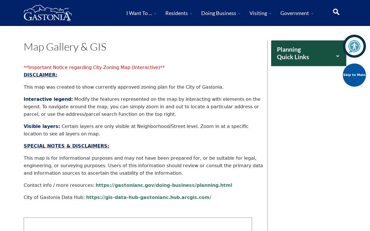
Pairing that city context with a parcel and recorded reference gives a stronger trail when historic labels or street numbers no longer line up.
Respect Gastonia Street Directory Limits
No official universal current household directory was located for Gastonia. A parcel can have multiple structures, an owner can receive mail elsewhere, and a voter search is limited to a named registration record. Historical directories are dated and can contain numbering errors. Treat a gap as a gap, identify the custodian that holds the next record, and avoid turning a property record into a claim about every person at an address.