
Gastonia ZIP Code Directory Coverage
Five verified postal-city labels serve Gastonia: 28052, 28053, 28054, 28055, and 28056. The research did not locate an official street-by-street neighborhood crosswalk for them, so the coverage below uses only the USPS labels and the Gaston County layer observations. The table deliberately leaves a station or neighborhood blank where the official material did not name one. Postal geography is useful for verifying an address, but it is not a resident roll or a municipal-boundary map.
| ZIP | Areas represented in reviewed sources | Post office | Notes |
|---|---|---|---|
| 28052 | County USPS layer returned a Gastonia polygon of about 40.40 square miles. | Gastonia Main Post Office, 301 W Main Ave. | Postal area is not a city-neighborhood boundary. |
| 28053 | Gastonia postal-city label; no 28053 polygon returned in the reviewed county layer. | No station assignment found in reviewed material. | Do not infer residence, city limits, or PO-box status without an address-level USPS result. |
| 28054 | County USPS layer returned a Gastonia polygon of about 19.71 square miles. | No station assignment found in reviewed material. | The USPS label does not establish parcel jurisdiction. |
| 28055 | Gastonia postal-city label; no 28055 polygon returned in the reviewed county layer. | No station assignment found in reviewed material. | Verify the specific street through USPS and GIS. |
| 28056 | County layer returned two Gastonia polygons of about 38.63 and 10.14 square miles. | No station assignment found in reviewed material. | Check city-limit or ETJ status in city and county mapping. |
The verified Gastonia Main Post Office listing provides the 28052 office location and postal contact details.
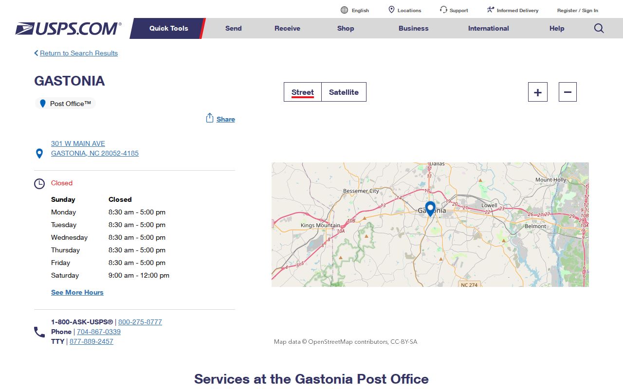
Use the Main Post Office information as a postal reference for 28052, not as proof that every Gastonia mailing label is served from a named station in the research.
Gastonia ZIP Code Postal Labels
USPS sorting language explains why nearby postal labels can be easy to confuse. The reviewed USPS Postal Bulletin listing says that 28052 and 28053 sort to Gastonia 28052, while 28054 through 28056 sort to Gastonia 28054. That is a mailing-label convention. It does not establish a city line, a neighborhood edge, a school assignment, or a parcel jurisdiction.
For a particular street, the correct source is the USPS ZIP Lookup. It checks the full address instead of asking a researcher to assume that a name, neighborhood, or map shape belongs to a particular postal area. Preserve apartment or unit information and standardize directional abbreviations before checking an address.
The Postal Bulletin source documents the 28052 and 28054 sorting convention used here.
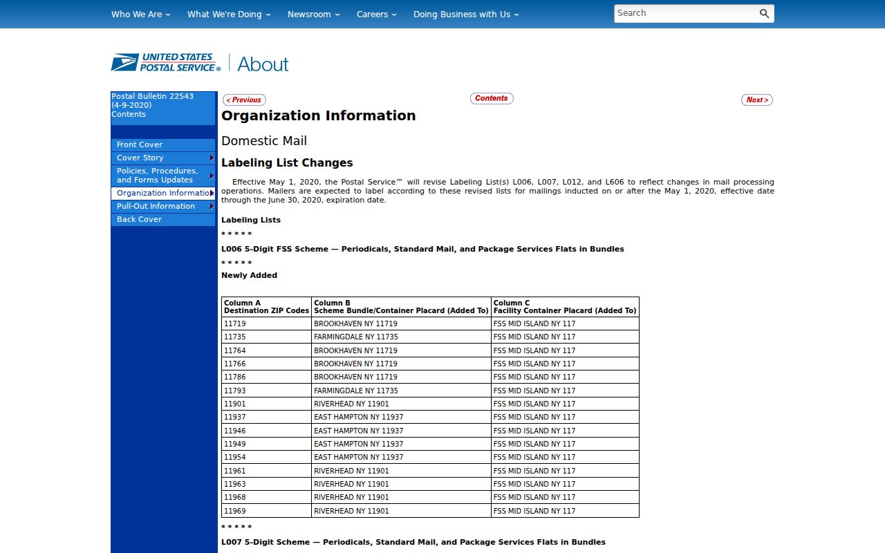
That sorting detail is why an address-level USPS result is more reliable than a guessed boundary.
Map Gastonia ZIP Code Boundaries
The county's USPS ZIP GIS layer identifies its boundaries as USPS-provided. It also warns that some areas are post-office or PO-box oriented. That warning matters when the county layer does not return a polygon for 28053 or 28055: the absence does not establish that no address can receive that postal label.
The same county layer notes that High Shoals 28077 is PO-box only. It is not part of Gastonia's verified postal-city set. No Gastonia ZIP was confirmed as PO-box only in the reviewed material, and no source established a unique single-institution postal area for Gastonia. Leaving those distinctions unresolved is more accurate than converting a map gap into a claim about delivery.
The Gaston County USPS layer is the mapped source for the boundary observations in the coverage table.
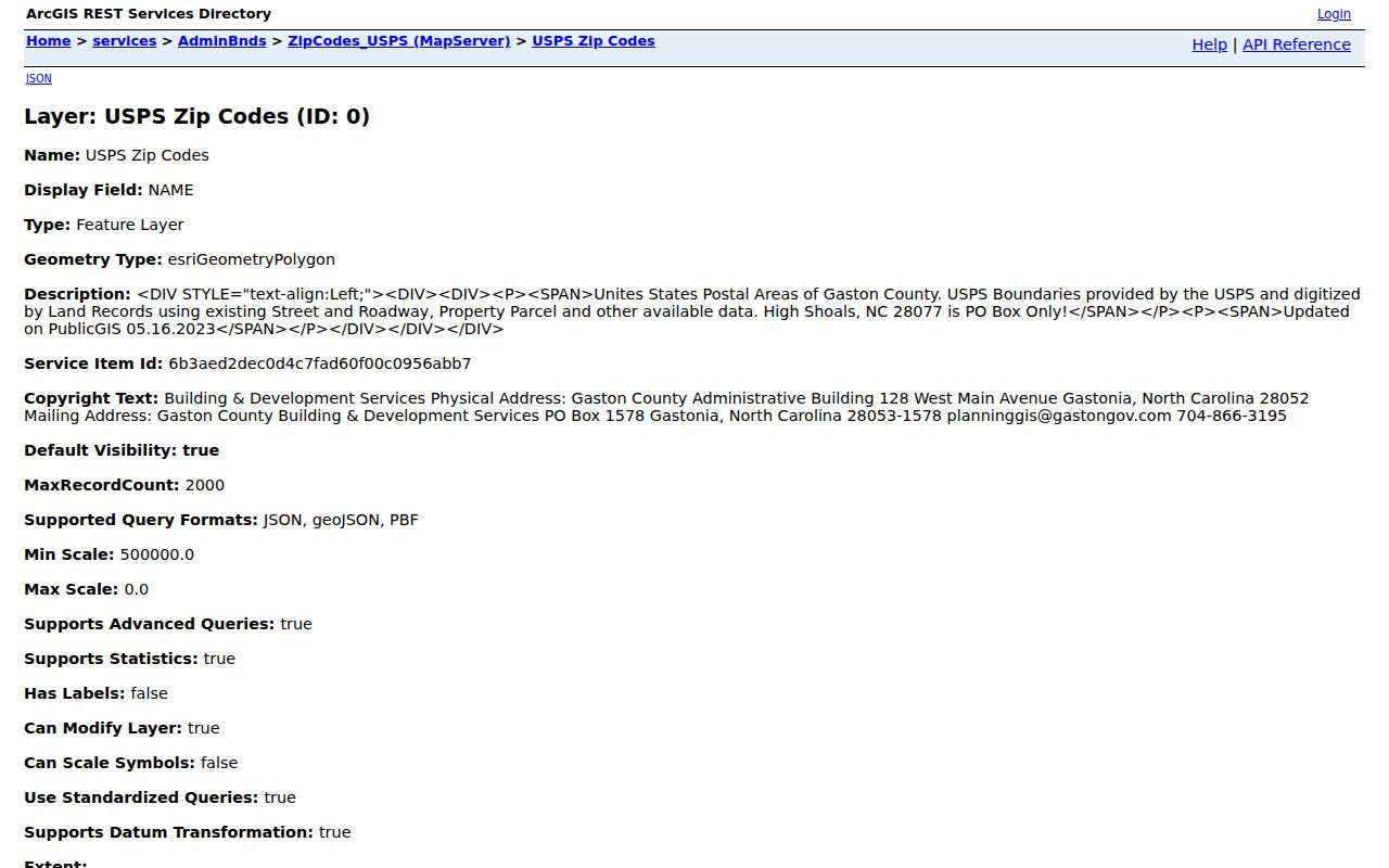
Compare this postal layer with the address result and parcel map before using an area label in a record search.
Find Residents by Gastonia ZIP Code
A postal label narrows an address check but does not create a public list of people in that area. The practical process starts with USPS, then shifts to the property address or a named voter search. This keeps the address, parcel, and person records in their proper lanes and avoids presenting a postal geography as a household directory.
- Run the full street address through the USPS ZIP Lookup. Retain the returned label with the exact address checked.
- Use the validated physical address in Gaston GIS to identify the parcel, situs address, owner, parcel ID, PIN, and deed or plat reference. The physical address is distinct from the mailing address.
- If a specific person must be checked, use the NCSBE Voter Search with the person's name and Gaston County. Compare a public registration address carefully with the verified street address.
- When a voter-file request is needed, ask the Gaston County Board of Elections for an existing public record or available file format. Do not assume the office must create a new postal-area compilation.
- After an address is narrowed to a street and parcel, use the Gastonia street directory for the address-to-owner and recorded-deed trail.
North Carolina voter data can include public current and formerly registered records, status, address, county, precinct, and district information, subject to protections. It is a named registration source, not a ZIP-wide inventory. The Gaston request form accepts submissions in person, by email, mail, phone, or fax and has separate fees and processing limits for copies, media, labels, and postage.
Note Gastonia ZIP Code Filter Gaps
The research did not find a postal-area field in either major local search. Gaston GIS advanced search exposes parcel and PIN, property address, owner, deed and plat book and page, property use, township, district, neighborhood, year built, vacant, bedroom and bath, basement, square footage, sales, acreage, and value-related fields. A ZIP filter was not visible in that inspected field list.
| Portal | Captured inputs | Postal-area finding |
|---|---|---|
| Gaston GIS advanced search | Parcel, PIN, primary property address, owner, deed book/page, plat book/page, neighborhood, township, district, and property characteristics. | No ZIP field was visible in the reviewed form. |
| NCSBE Voter Search | First name, middle initial, last name, year of birth, county, and voter status. | No ZIP field was captured; choose Gaston County for a focused named search. |
| USPS ZIP Lookup | Specific street address. | This is the proper postal verifier for a particular address, rather than a resident filter. |
The city maps page provides address, parcel, zoning, and other map layers, but the research did not identify it as a postal-area resident roll. For that reason, a result should be built from a verified address and an official record, not from a filter that the portal does not offer.
Search Gastonia ZIP Code Records
Once USPS confirms an address label, Gaston GIS can provide the property side of the search. Its property card can include current owner, mailing and situs addresses, parcel identifiers, deed book and page, sale amount and recording date, plat references, legal description, structure details, values, tax districts, city limits, ETJ, flood information, and Census tract. The card is a GIS and tax summary, so compare a recorded ownership question with the Register of Deeds.
For a name already connected to an address, the NCSBE search can add a public registration lead. The statewide results may show registration details, jurisdictions, polling place, sample ballot when available, absentee information, and voter history. A protected voter or Address Confidentiality Program participant may have an address shielded. A missing public match must not be treated as proof that no person is associated with the address.
For a historical address, directory entries and maps are date-bound sources rather than a postal shortcut. Gastonia research specifically notes that street numbering changed over time, so a parcel, plat, legal description, or adjacent owner is often a better bridge than a mailing label.
Compare Gastonia ZIP Code City Limits
Postal boundaries and Gastonia city limits answer different questions. A postal-city label can extend beyond a municipal edge, while a parcel can have city-limit or ETJ status that is not apparent from its mailing label. The county parcel detail includes city limits and ETJ fields, and the City of Gastonia map resources provide a separate municipal geography check. Verify both when a city-service or jurisdiction question matters.
Neighborhood names require the same restraint. The city's recognized-communities page can supply approximate boundaries, household-count descriptions, recognition dates, and civic context for named groups. Those descriptions are not a census and do not prove that a particular person lives in the area. Connect a neighborhood only to a parcel, street intersection, historic map, or recognized-community boundary.
Define Gastonia ZIP Code Terms
Postal terms should describe delivery geography without being turned into identity claims. The following definitions keep the limits found in the Gastonia research visible when comparing an address, a parcel, and a postal label.
- ZIP
- A postal label used with an address. In Gastonia, it is not a city-neighborhood boundary or a parcel-jurisdiction finding.
- ZIP+4
- A more specific postal extension used with an address. The reviewed sources did not provide a Gastonia ZIP+4 list, so verify a full address through USPS.
- PO-box ZIP
- A postal area oriented to post-office boxes. The county layer identifies some areas this way; High Shoals 28077 is noted as PO-box only and is not in the Gastonia postal-city set.
- Unique ZIP
- A postal assignment for a single institution or organization. The reviewed research did not confirm one for Gastonia.
- Carrier route
- A delivery grouping below the broad postal label. The reviewed local portals did not identify it as a public resident-search filter.
These limits are the reason an address must be checked through USPS first, then joined to the source that actually holds the parcel, deed, voter, or historical record. A postal label organizes delivery. It does not establish current presence at the location.